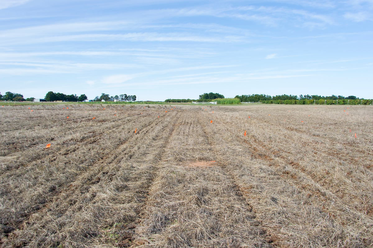
Cimarron Valley Research Station - Perkins
The research station houses a wide range of agronomic and horticultural crops; from wheat, canola, sorghum, and forages to pecans, grapes, fruit trees and vegetables.
Research Focus
Primary research areas include variety evaluations in wheat, canola, and alfalfa; weed control in row crops, small grains, and forages; integrated pest management in peaches; variety evaluations in wine grapes; and management practices in pecan orchards. The station's proximity to OSU campus provides an excellent opportunity for “hands on” experience in agriculture.
Size and Location
The station consists of 640 acres and is located mile north of Perkins at the
The Station is located along the upper terrace of the Cimarron River, and consists
 primarily of the Teller loams and sandy loams. Landscape ranges from flat bottom acres
to gentle uplands with 3 to 5% slope. The Teller series soils are deep, well drained
and moderately permeable. They are on broad, convex, nearly level to gently sloping
ridge tops and side slopes on uplands. The Konawa series soils found on the station
are very similar to the Teller series except slopes can range from 1 to 8%. These
soils can be highly productive with proper fertilization. Soil acidity ranges from
a 5.1 pH to 6.5 pH, making it necessary for periodic liming. These soils give scientists
a good representation of crop production on sandy soils. The average annual precipitation
is 37.06 inches with an average summer high temperature of 91°F and an average winter
low winter temperature of 26°F. The elevation of the station is approximately 900
feet above sea level.
Meet the Team
- Kenneth Watkins
Superintendent - Jimmy Carroll
Ag Technician III
